Welcome Visitor. First time here? Like what you see? Bookmark us for when you are bored, and check out 'top shots' and 'fantastic (editors choice)' in the menu above, you won't be dissapointed. Join our community!
click here to sign up for an account today. Sick of this message? Get rid of it by
logging-in here.


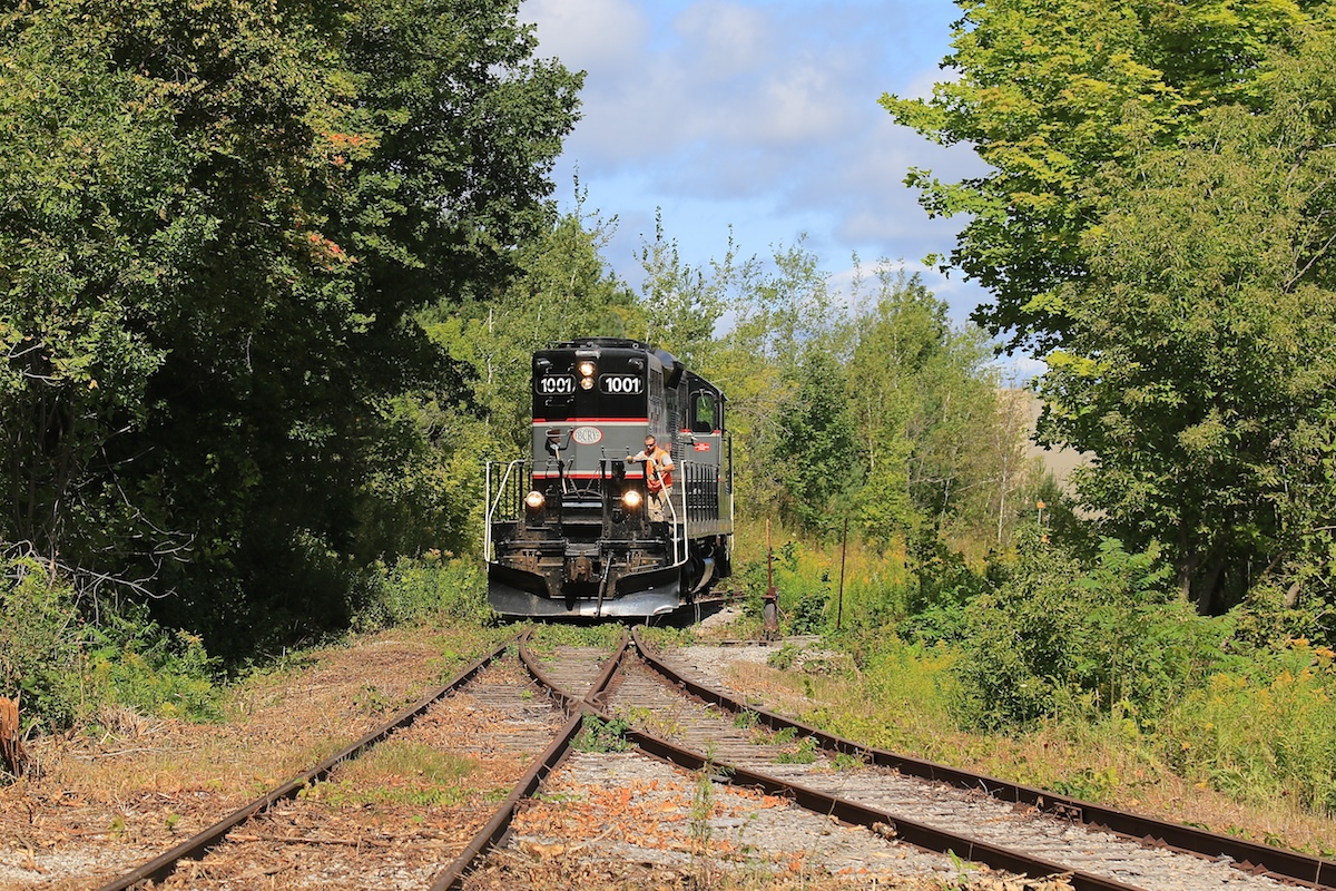
Lucky catch!
We used to walk those tracks to a freinds place in the area thinking they were abandoned back in the day after going to concerts at Molson Park. Very nice to BCRY running!
Yes, very lucky – right place at the right time sums it up. They sure removed a lot of vegetation in order to make this spur passable.
Did they replace the switch next to Purolator? In Satellite view it seems to be missing.
The switch or at least a single track was replaced a couple of years ago when they were storing the tank cars. Why the switch was taken out is a bit of a mystery.
I walked the tracks the other day and yes, the switch was replaced with a single track.
awesome seeing those switches loaded into a gondola or almost out package (being a model railroader) ready to be put into place. Great catch indeed! Nice one Craig.
Craig, just thought of something out of curiosity, would you or anyone else here happen to know the exact reason for why BCRY still occasionally made the very rare move to Molson Brewery even long after the place was closed? I believe that they usually would only do so when they had a couple flatcars to spot there which would then be loaded with rail and shipped back out again a couple weeks later from BCRY, was there a different buisness near the area which made the rail, did the rail still come from Molson Brewery and just get shipped out when needed, nevertheless was just a little curious for the reason to that move.
I remember seeing on multiple sites quite well that the closure of that place very early in BCRYs era costed them about 25 percent of their rail traffic, wonder what time of rail traffic they took before then as well (tank cars, flat beds etc).
Anyhow great luck on this day and thanks for sharing the photo!
This movement was to recover the rails in the former Molson’s plant before Big Bay Point Road was rebuilt and the crossing removed.
Curious, can anyone help me understand where the Molsons spur was? I remember the brewery, I remember it had a drive thru (and we’d stop there for beer on the way to cottage parties)
but I can’t for the life of me figure it out on today’s satellite images – re-development is heavy down there!
After crossing Big Bay Point Road, the spur entered the site from the north and turned west, ending just short of Highway 400. The drive thru store was further south where all of the development is occurring.
The Simcoe county mapping site has an imagery option and you can view previous years. 2002 shows the full plant and 2008 shows the plant half demolished. https://maps.simcoe.ca/Public/
Wow Eric! Awesome! that was perfect!
Of course redevelopment doesn’t stand a chance to use rail in this world hungry for residential and commercial.
Of course that’s up to city planners but they are in the pockets of the developers anyway..
Great map @Eric May. Thanks for sharing.